Shenandoah National Park
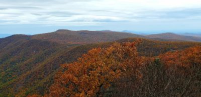
Shenandoah is most commonly viewed as an escape from the big city life on the East Coast especially Washington D.C. There is a ton to do here from driving the 105-mile-long Skyline Drive, hiking the many trails throughout the park, viewing the abundant wildlife, or relaxing near a cascading waterfall. With some planning, you can even visit Herbert Hoover’s Rapidan Camp which is where the 31st President loved to get away from the stress of the White House. We would highly recommend visiting this park in late October during or near the peak Fall colors. Yes, it will be crowded but it is completely worth it.
Most Recent Visit
October 2019
When to Go
This park can be visited year-round but is especially popular in the fall when the changing leaves put on a show.
How to Get Here
The northern entrance (Front Royal) to the park is only about an hour away from Dulles International Airport (IAD) – so that is the clear choice when traveling to Shenandoah if you are not within driving distance. Unlike some of the other National Parks, it would be hard to hit multiple parks on this trip unless you plan to do a lot of driving. However, there are a number of President homes, National Battlefields, and National Historic Sites in this area of the country to fill in a full trip if you are interested. We spent a little over a week in the area and visited six President homes (Washington, Jefferson, Madison, Monroe, Eisenhower, Hoover) and several battlefields and historic sites.
Trip Length
We would recommend three days in this park. The park road is 105 miles long and can take a while to traverse if there is a lot of traffic. We drove in from Dulles and spent the first day within the first 50 miles of the park before ending up at our lodge in the middle of the park. This allows you to see the southern portion of the park on Day 2 before returning to your lodge. On the third day, we would recommend driving to the very eastern edge of the park and spending the day hiking the famous Old Rag trail. You won’t regret it!
Where to Stay
As we mentioned above, Skyline Drive is 105 miles long. While you can certainly find places to stay outside of the park it makes more sense to stay right in the middle of the park. We stayed at Big Meadows Lodge near mile marker 50. There are nicer spots near this area if you are fine spending more money, but Big Meadows was a great budget option and many of the rooms have great views of the valley below. Here are some photos from our lodge room:
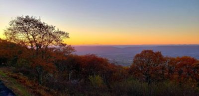
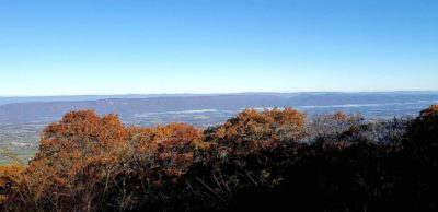
The other positive about this lodge is the dining options as you can take part in a sit down meal in the dining room or you can head to the downstairs bar which has more budget friendly food and live music most nights. The lodge is also near many trail heads and just minutes away from the main Visitor Center where you can catch a Ranger tour to Rapidan Camp.
What to Do
If you are coming in from Dulles Airport, the first thing you should do is stop at the Dickey Ridge Visitor Center near mile marker 5 on Skyline Drive. There are several trails to hike right from the parking lot and you can also watch the short video to get introduced to this National Park. Make sure to talk with a Ranger to get recommended hikes for the day as well as information on any Ranger programs occurring during your stay. The park also has several trail maps covering the 105-mile Skyline Drive which will equip you with all of the information you need to plan your time.
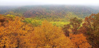
Once you have explored the visitor center, hit the Skyline Drive and stop at several of the pullouts along the road for some fantastic views. We visited the park in late October, so the fall colors were stunning from many of these pullouts. We had taken a red eye into Dulles, so we were quite tired during this first day and therefore didn’t hike as much as we would have otherwise. One hike recommended to us that we didn’t end up having time to complete was Mary’s Rock at mile marker 33.5 so check that if you have time.
Our first hiking stop was at Stony Man Nature Trail (mile marker 41.7). This was a relatively easy trail at 1.6 miles with a little bit of elevation gain and amazing views of the fall colors.
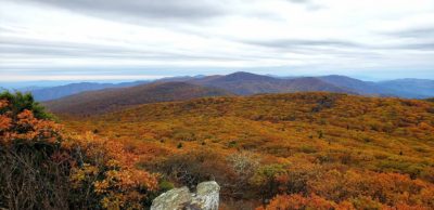
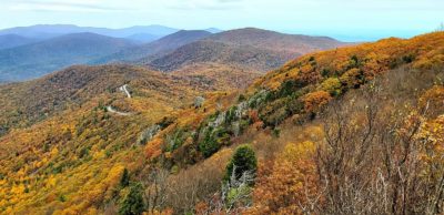
If you are looking for a more level trail, check out Limberlost Trail which is an accessible 1.7-mile loop at mile marker 43. You are not going to get sweeping views on this hike, but it is a very enjoyable walk in the woods.
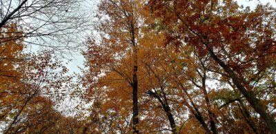
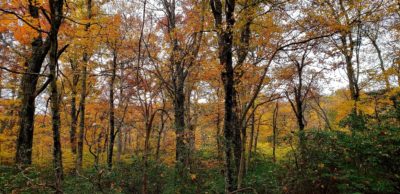
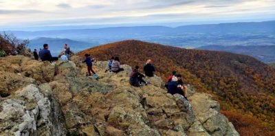
We finished out Day 1 in the park by hiking to Hawksbill Summit which is the highest point in Shenandoah at 4,050 feet. Luckily you don’t have to hike that far to get to the summit! You’ll hike about 1.7 miles and elevate about 600 feet to get to the summit which is completely worth it for the view and to say you got to the highest point in the park!
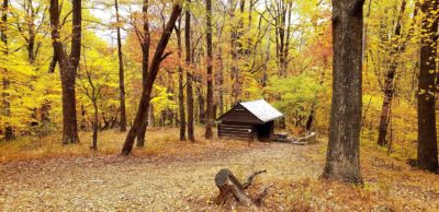
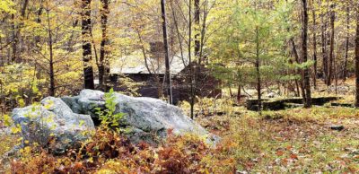
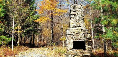
To start Day 2, head over to the Byrd Visitor Center which is just minutes away from Big Meadows Lodge and ask a Ranger if there are any spots left on the Rapidan Camp tour. This typically runs a couple times during the day, and you should really try to reserve a spot online ahead of your trip to guarantee you will get a spot. This tour will bring you to our 31st President’s (Herbert Hoover) getaway where he escaped the stress of Washington DC. He could frequently be found fishing at this location and also hosted many world leaders at the location. The thought was it would become what Camp David has become today but that never happened and the camp now sites frozen in time for us to enjoy. The Ranger tour will last about 2.5 hours and only costs $10 per person. We highly recommend this as you will get deep into the park and learn a lot of history as well.
Once you have completed the tour it’s time to hit the southern ~55 miles of the park! Similar to the northern half, there will be plenty of pullouts on both sides of the road giving you opportunity to stop and take in an incredible view of the Shenandoah Valley. Here are a few hikes to consider as well:
The first stop should be mile marker 56.4 at Bearfence Mountain loop trail. You have two options to get to the summit here and both are a little over 1-mile with about 300 feet of elevation gain. The first is slightly longer at 1.4-miles but includes a rock scramble to get to the top. The second is an easier 1.1-mile round trip utilizing the Appalachian Trail.
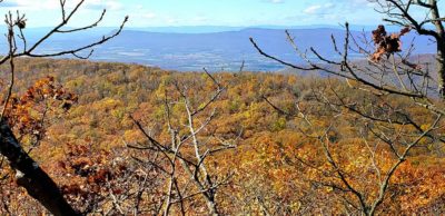
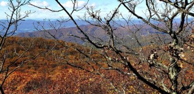
After completing this hike, you will be on Skyline Drive for a while as the next stop won’t be until mile marker 79.4, the Frazier Discovery Trail. This is a relatively easy 1.2-mile stroll though you will have to climb about 430 feet. We didn’t have high expectations for this hike and almost decided not to do it as a result. However, this turned out to be one of our favorite hikes in the park. You work your way uphill by some pretty cool rock formations before coming to a really cool viewpoint which was especially nice given the fall colors we were experiencing.
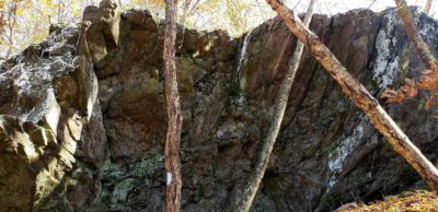
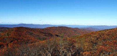
Once you complete this hike, there is a Wayside building next to the parking lot where you can grab a snack or go shopping for some Shenandoah gear. After you complete this, continue down the Skyline drive to mile marker 84.8 which is Blackrock Summit. This is another pretty easy hike at 1-mile round trip and only about a 175-foot elevation gain. If you have time, you can also spend time at the summit climbing the mountain of rocks or looking out over the valley below.
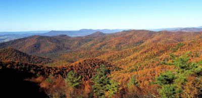
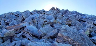
After this hike get back in your car and continue all the way to mile marker 105 which is the end of the Shenandoah National Park. There are a couple of options at this point. You can continue out of the park and start your adventure of other National Historic Sites, Battlefields, and President’s homes in the area, or you can drive Skyline Drive back to Big Meadows Lodge (or wherever you happen to be staying). We chose the second option here as we were not done with the park quite yet.
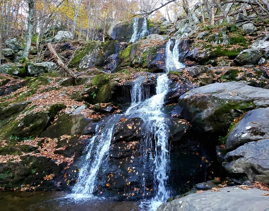
There are a couple things we would recommend doing on Day 3 in Shenandoah. The first is actually very close to Big Meadows Lodge at mile marker 50.7 – Dark Hollow Falls. The Rangers mentioned that a number of the waterfall hikes in Shenandoah can be risky late in the season because of a lack of water available to go over the falls but Dark Hollow is the most consistent of the group. This is a 1.4-mile moderate hike which involves an elevation change of 440 feet. Most of that elevation change is right at the Falls as you get to an overlook where you can see the top of the waterfall and then have to descend steeply to get to a wonderful view of the Falls. Yes, this means you are going to have to climb back up that steep hill, which is what makes this hike moderate, but it is totally worth it! You might even come across some deer or even bears on the hike if you get to the trail head right after sunrise like we did. Both frequent this area.
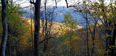
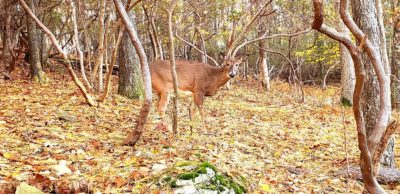
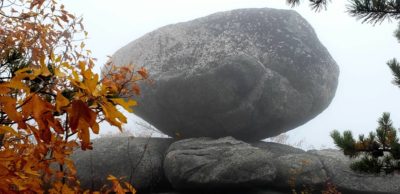
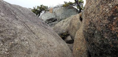
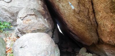
To complete your Shenandoah National Park experience there is one hike that you shouldn’t miss under any circumstances, and we have saved it for last – Old Rag. You’ll need to drive out of one of the eastern entrances to the park and wrap around a bit, but the Old Rag parking lot is about an hour to an hour and a half drive. Be warned this an extremely strenuous 9.2-mile loop hike involving 2,380 feet of elevation gain. This includes a mile long rock scramble that will challenge even experienced hikers. If you are looking to get to the top in a less strenuous way you could park at the Berry Hollow parking area for a 5.4-mile and a 1,760-foot elevation gain hike with no rock scramble to deal with. One other point of advice that we didn’t take ourselves is to look at the weather forecast before you take this hike. We got to the top only to find out we could barely see our hands in front of our faces because it was so foggy and even after having lunch at the top for 90 minutes, the fog never cleared. Even so it was still a great experience and a tremendous physical challenge. Here are several pictures from our trek up the mountain!
